
source
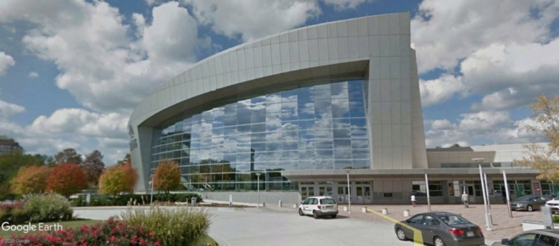
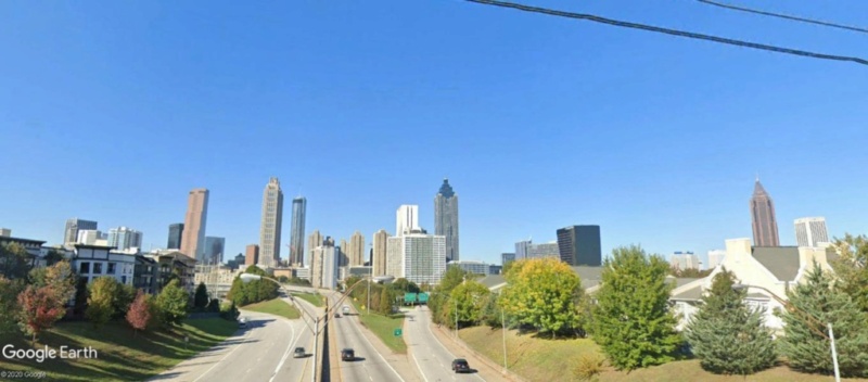
Atlanta, Georgie, USA.
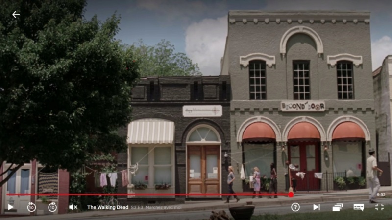
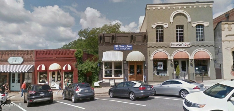
170 Jackson St NE, Atlanta, GA 30312
33°45'36.79"N 84°22'27.72"W
Capture d'image: Netflix
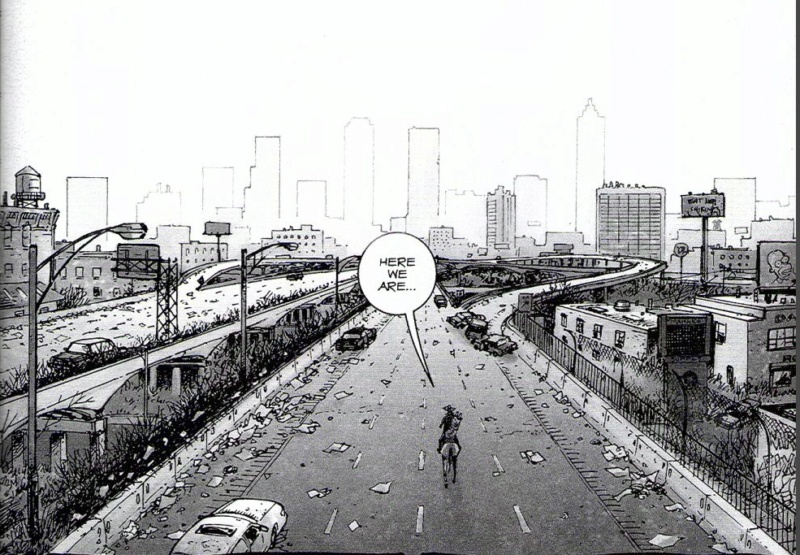
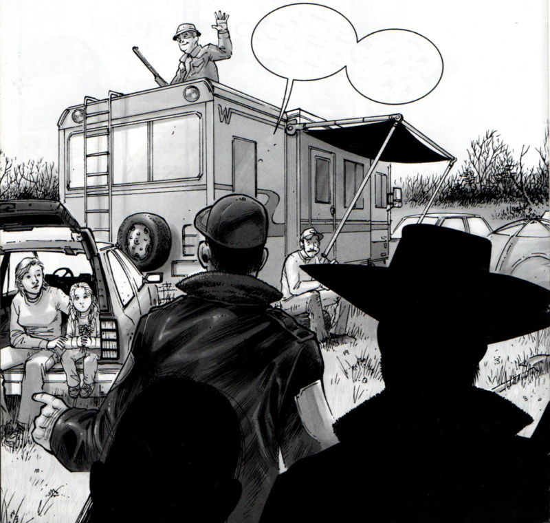
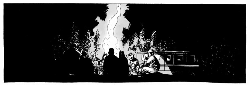
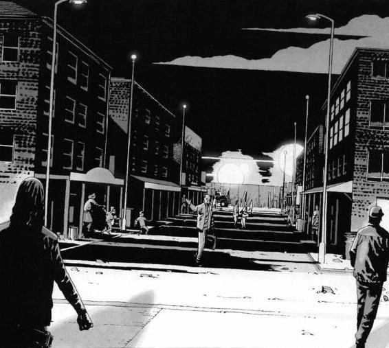
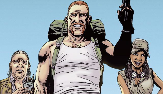
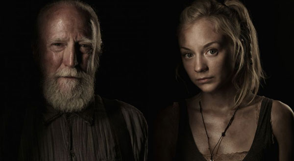
The Walking Dead- Comics.
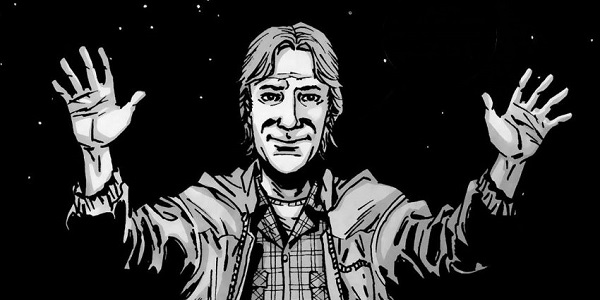
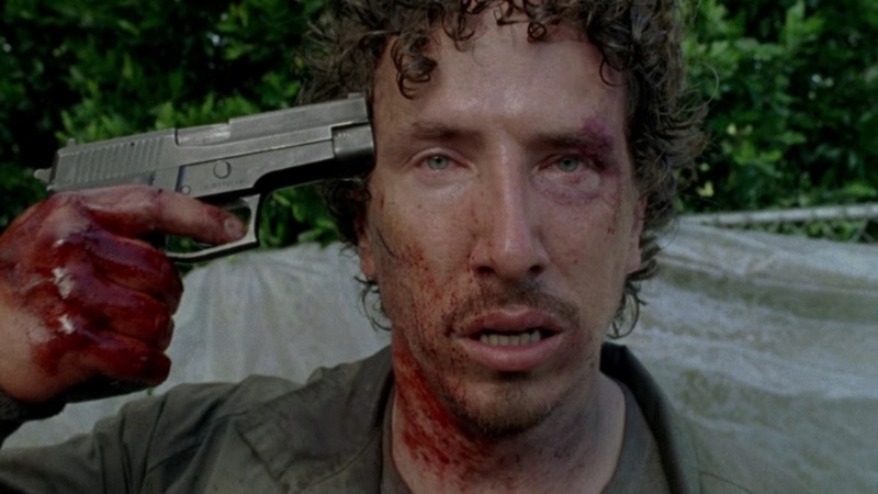
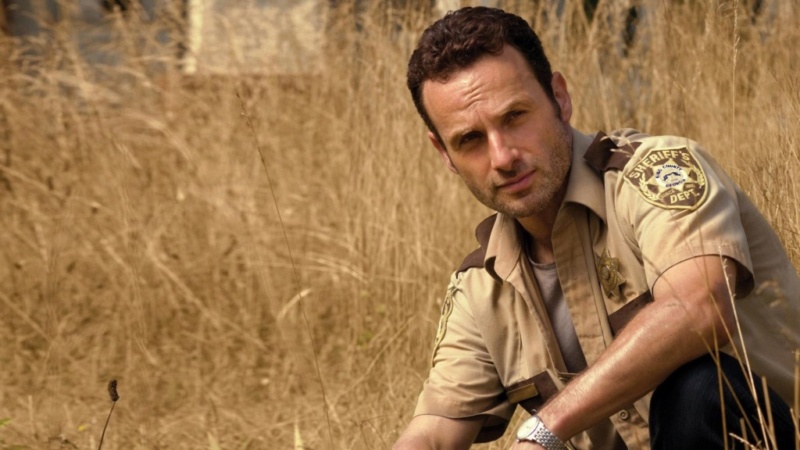
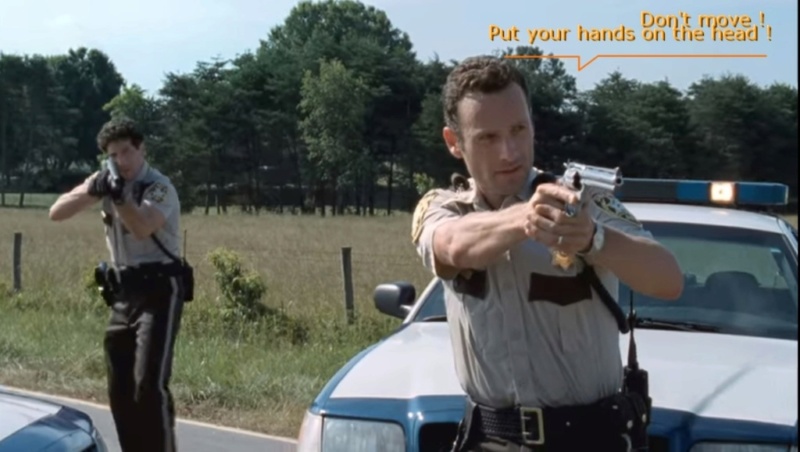
Introducing: Rick Grimes. Profession: Adjoint au shérif Du departement King County , Georgie.
C'est donc l'histoire d'un flic: Rick Grimes...Un jour ordinaire...
Capture d'image: Netflix
avec son meilleur ami et collègue: Shane Walsh...une intervention qui va mal tourner...
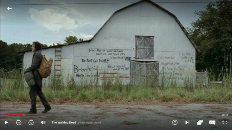
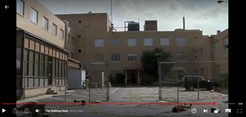
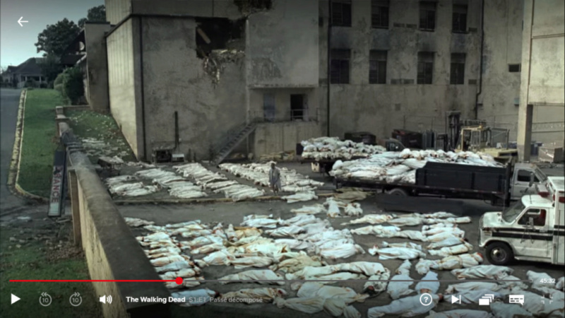
Hopital où Rick se réveille, d'un long coma.
2352 Bolton Rd, Atlanta, Georgia 30318
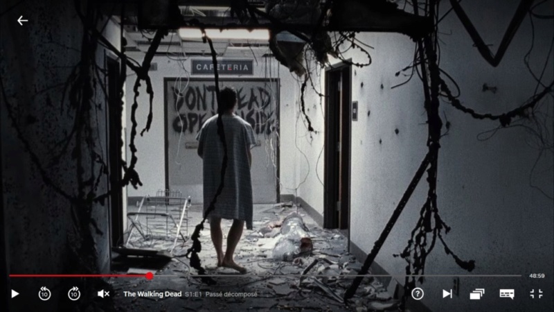
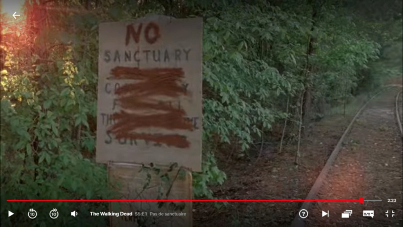
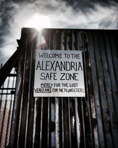
DON'T OPEN - DEAD INSIDE
"NE PAS OUVRIR - MORTS A L'INTERIEUR"
33°49'11.21"N 84°27'34.78"W
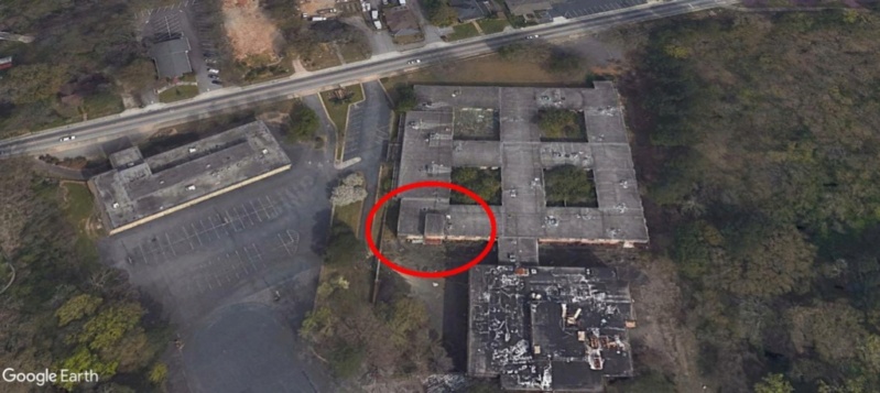

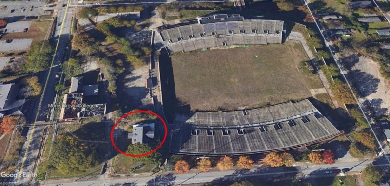
le cercle rouge situe la capture d'image suivante.
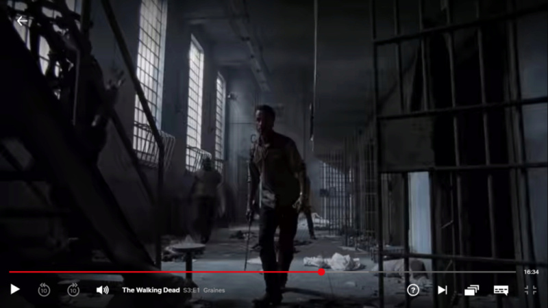
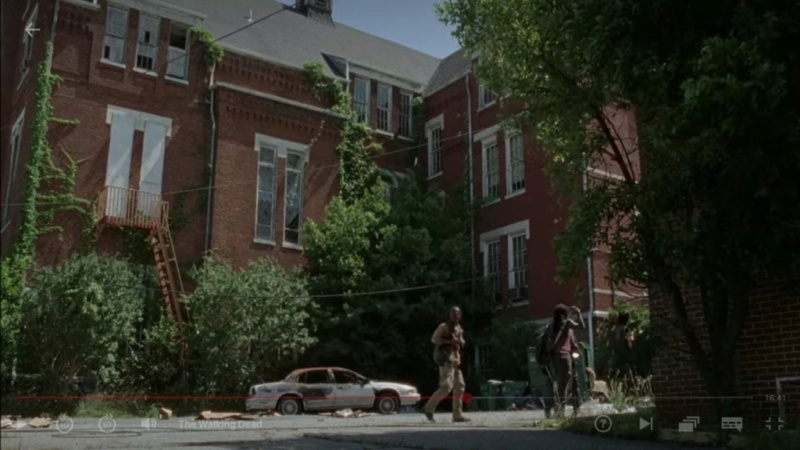
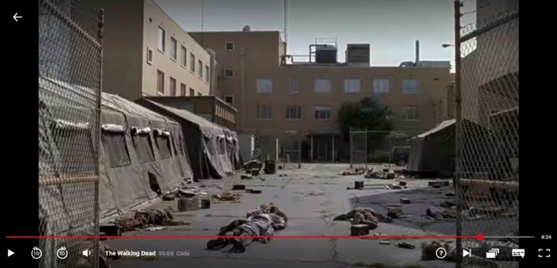
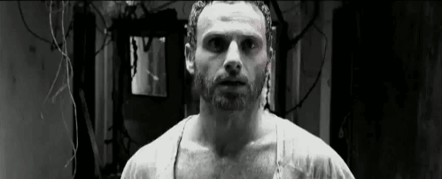
Sortie à l'extérieur de Rick après une longue déambulation dans les couloirs tous chamboulés et déserts de l'hôpital.
Capture d'image: Netflix
Incrédule, sonné, il comprend qu'il s'est passé quelque chose de grave pendant son coma...
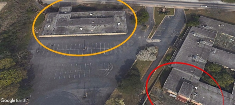
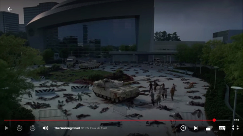
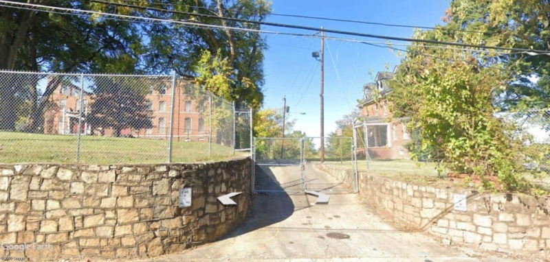
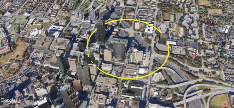
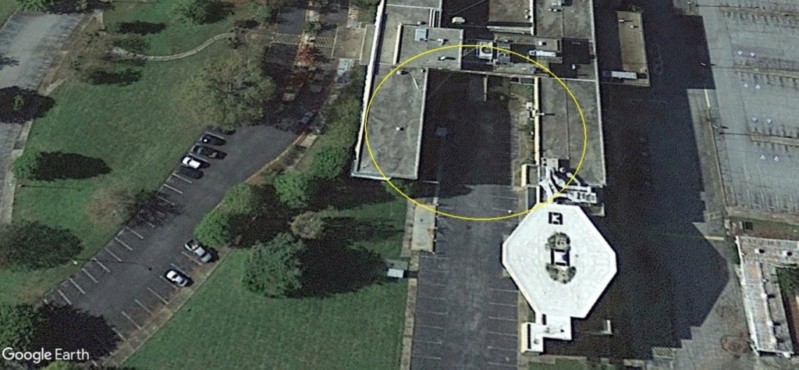
le cercle jaune situe le bâtiment de la capture d'image suivante.
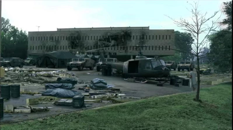
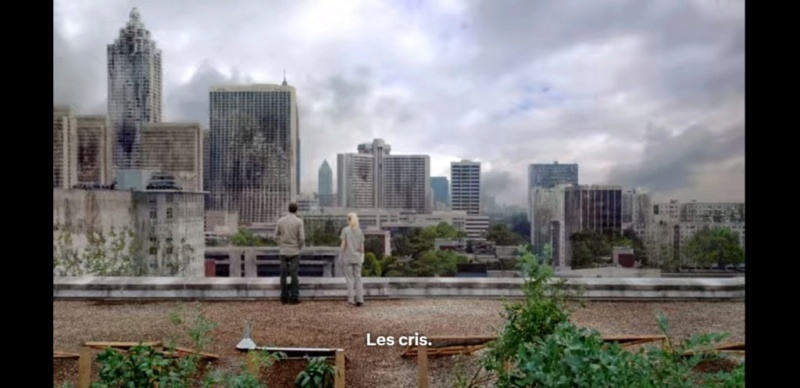
Capture d'image: Netflix
Est-ce la guerre? Les militaires ont bien été déployés mais semblent avoir été vaincus.
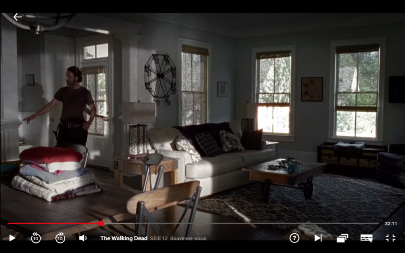
Il n'a plus qu'une idée en tête, retourner chez lui retrouver sa famille.
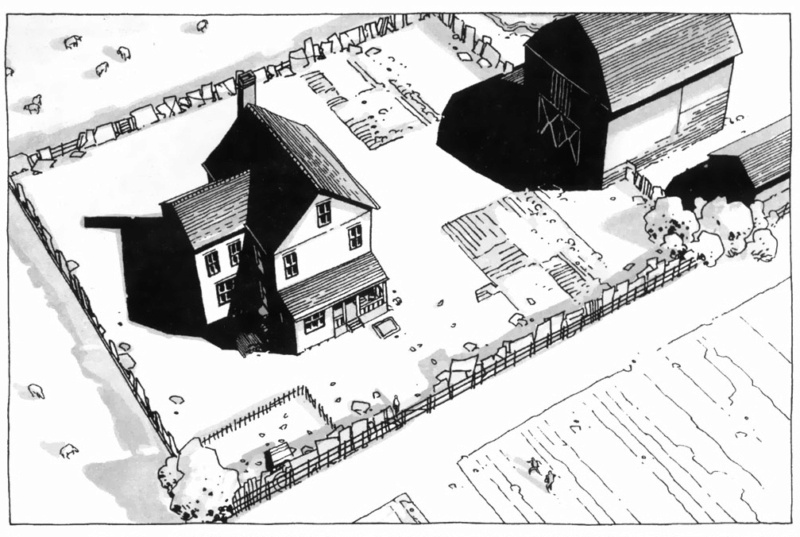
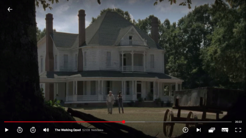
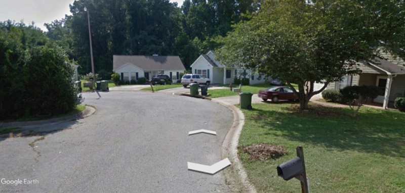
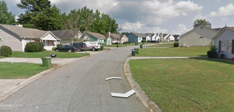
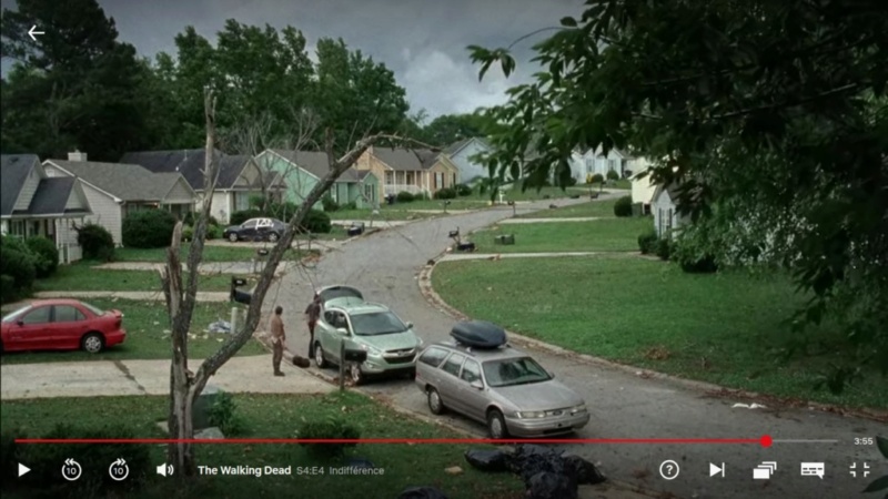
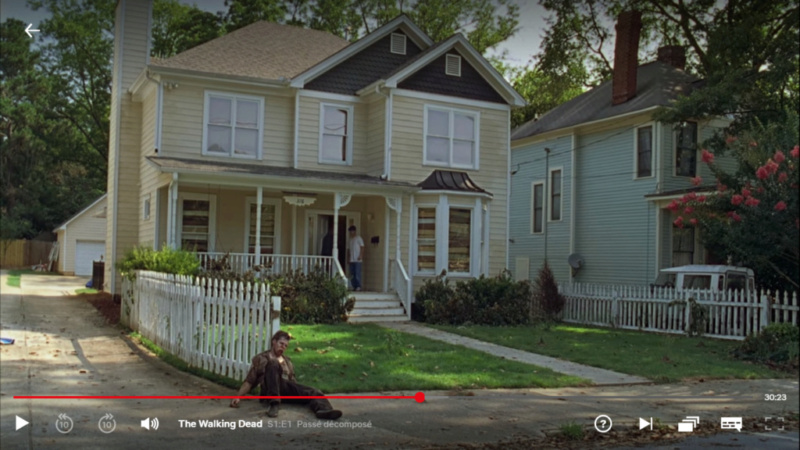
La maison de Rick.
33°43'55.38"N 84°22'28.93"w
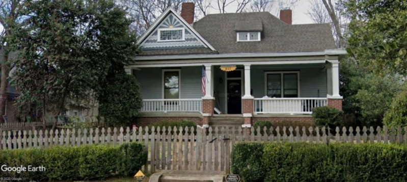
Désertée.
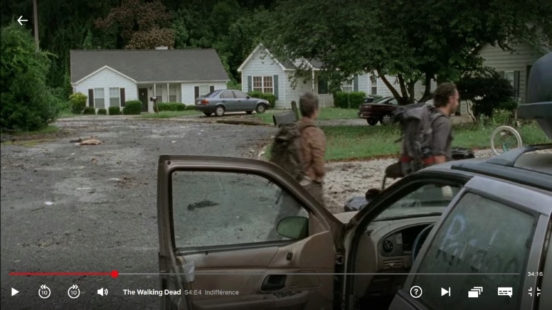
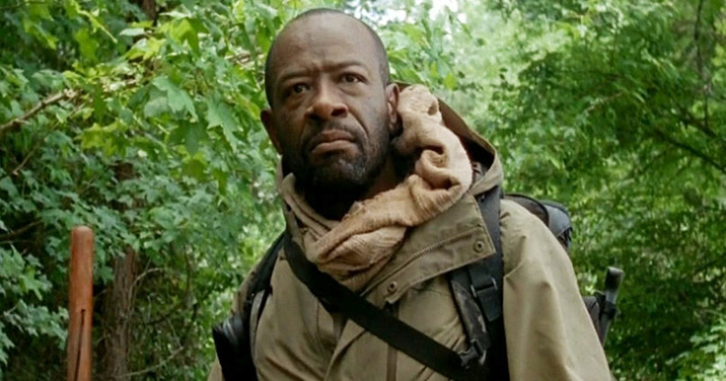
Introducing morgan: voisin de Rick (avant), kung fu master (plus tard)
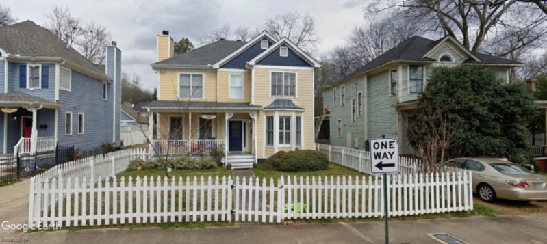
La maison de Morgan
376 Ormond St SE Atlanta, GA 30315
33°43'53.69"N 84°22'30.33"w
Capture d'image: Netflix
Une rencontre avec Morgan, un survivant de son voisinage lui apprend l'essentiel de ce qui s'est passé.
Un virus mortel a touché l'humanité toute entière. Les morts tuent les vivants par morsure. Faut se méfier, du coup.
Plus aucun signal de personne. TV, radio, internet, téléphone...plus rien ne fonctionne.
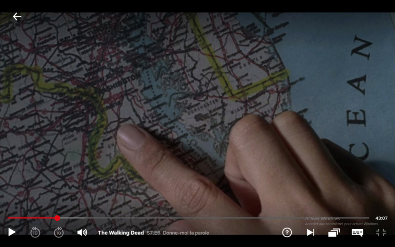
Selon ce voisin, un campement de survivants se serait implanté aux abords d'Atlanta...
Rick décide de les rejoindre, espérant y retrouver femme et enfant.
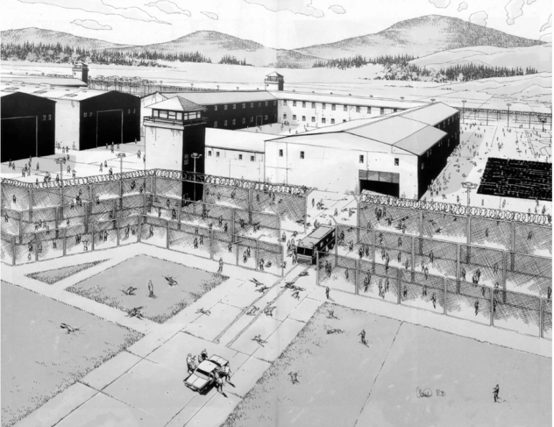
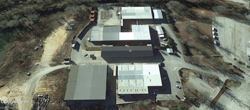
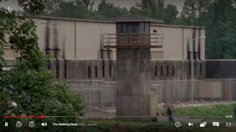
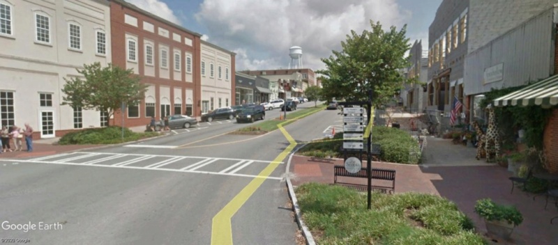
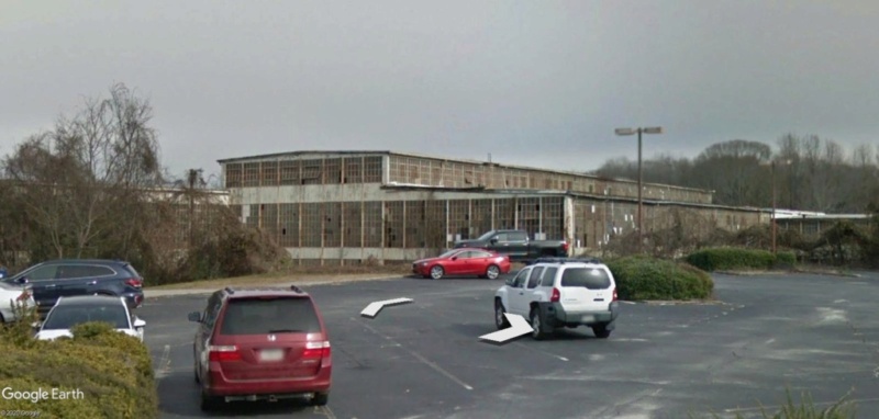
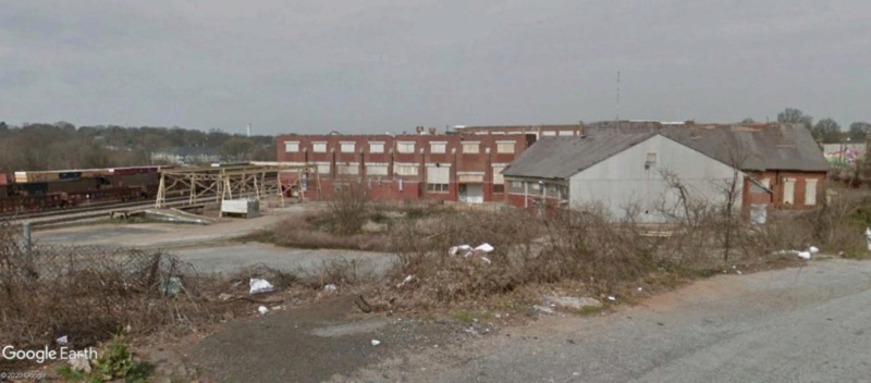
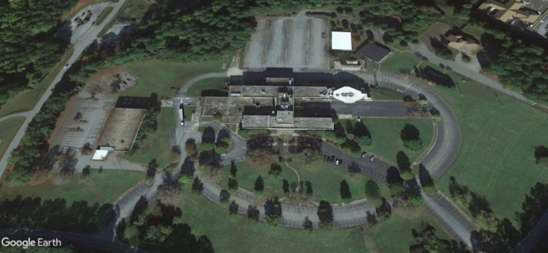
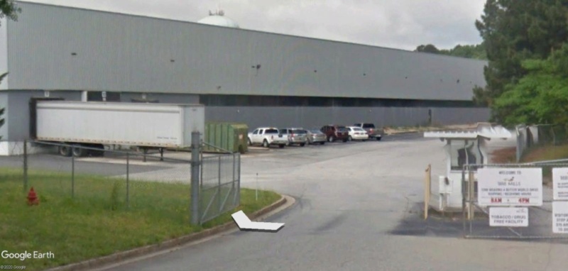
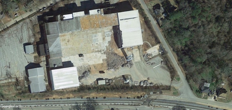
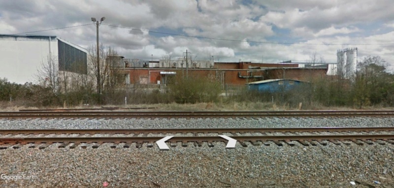
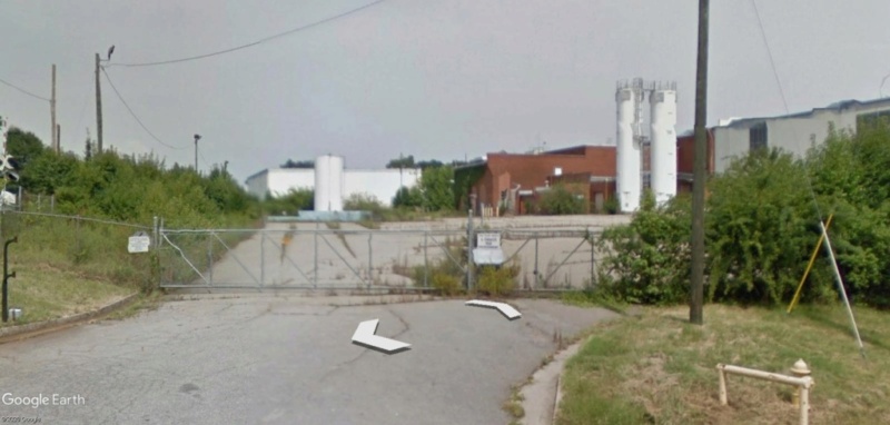
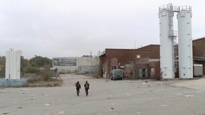
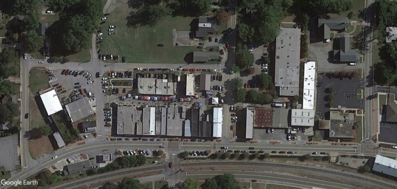
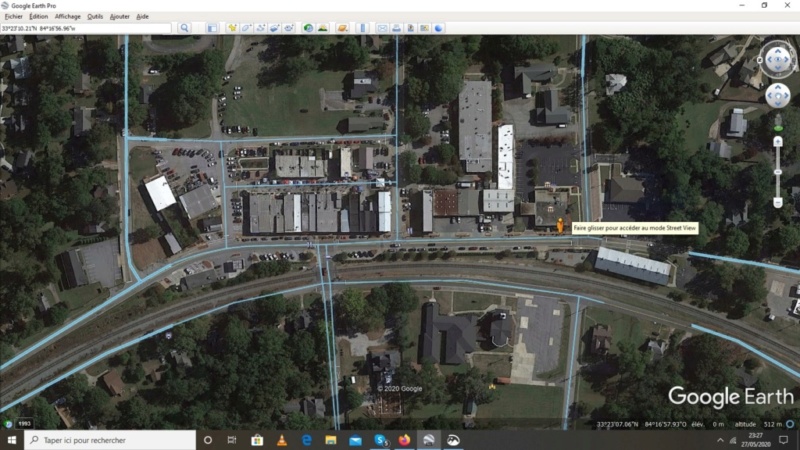
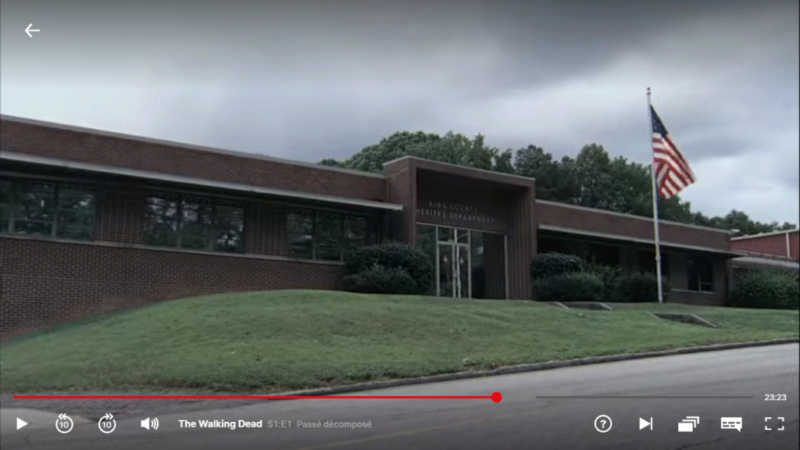
Département du Shérif de King County, Georgie.
1737 Ellsworth Industrial Blvd NW Atlanta
33°48'08.03"N 84°25'34.70"w
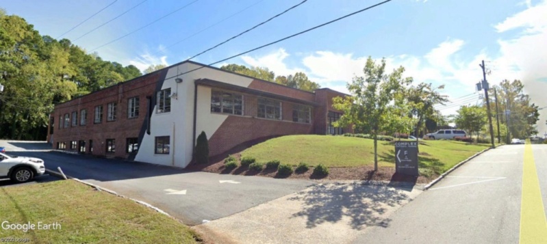
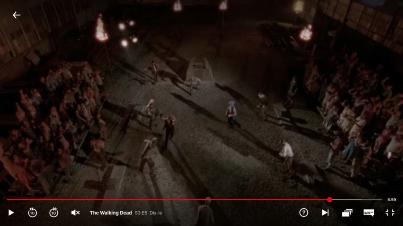
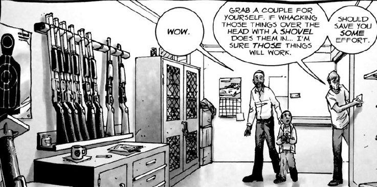
Rick fait une petite inspection à son commissariat, désert aussi , où il récupère quelques armes abandonnées bien utiles pour la suite.
Capture d'image: Netflix
Puis il se met en route pour Atlanta.
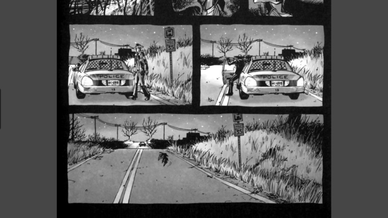
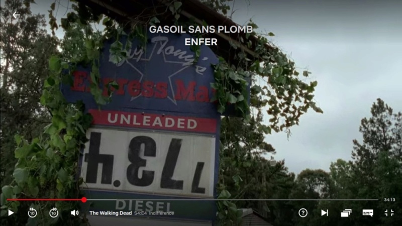
Ce faisant, il tombe en panne d'essence et s'arrête pour chercher un ravitaillement.
Comme les stations services ouvertes se font plutôt rares, il part, avec sa jericane, à la recherche d'un véhicule à siphonner.
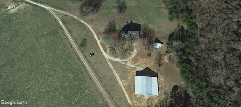
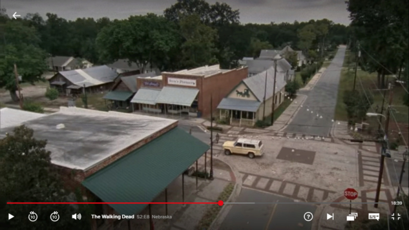
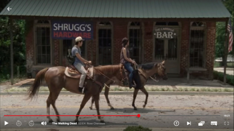
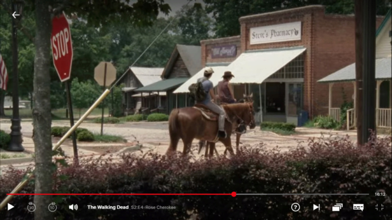
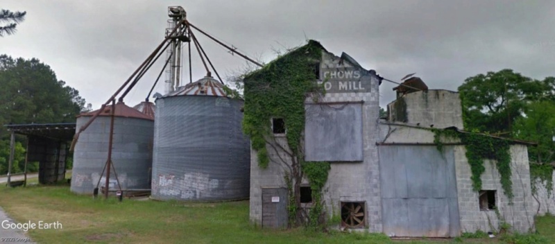
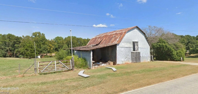
La ferme au cheval.
33°26'50.92"N 83°45'24.43"W
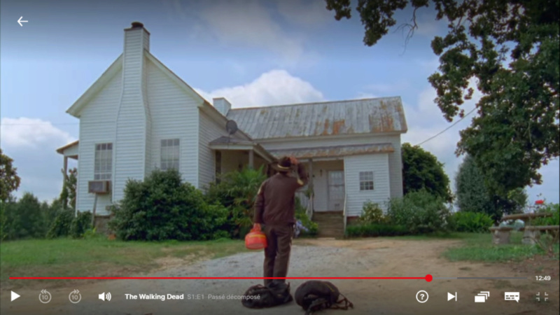
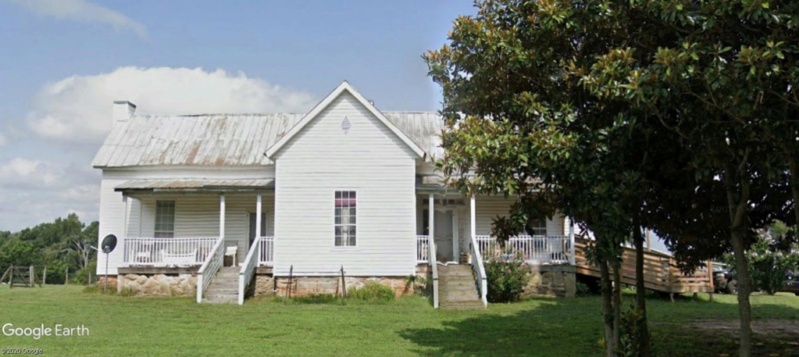
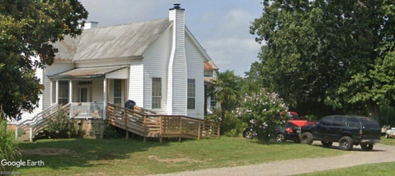
D'où il repartira sans sa voiture de police, mais à dos de cheval...
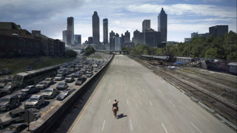
En cours de route, ayant manqué la communication radio avec la communauté de survivants, Rick galope vers Atlanta.
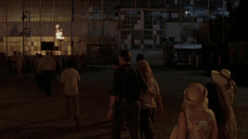
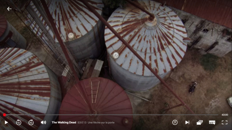
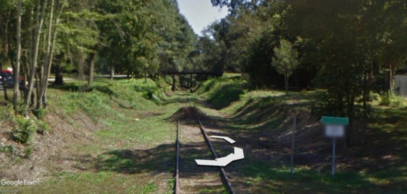
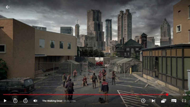
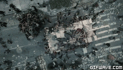
A la rencontre de sa première horde de zombies ...et au devant de gros soucis.
33°45'23.08"N 84°23'27.73"W
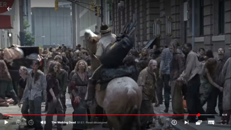
Capture d'image: NetfliX
GRH GRH GRH GRH
 : ce qui signifie: si je te chope, je te bouffe, TOI et ton cheval...en langage Zombie.
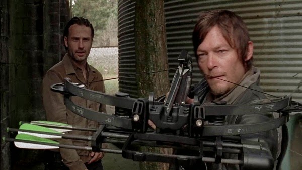
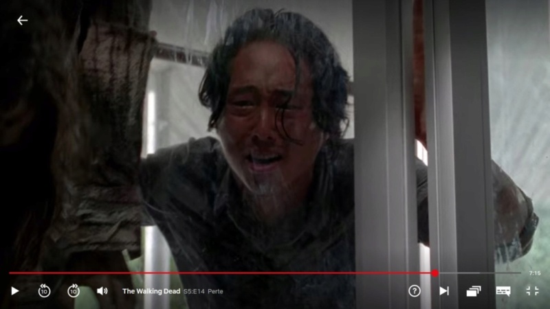
Introducing Glenn.
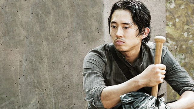
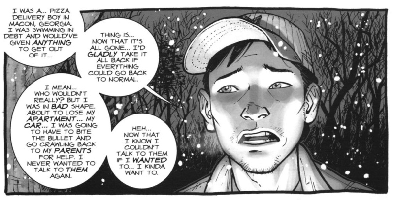
The Walking Dead- Comics.
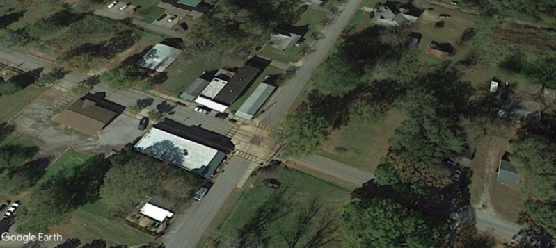
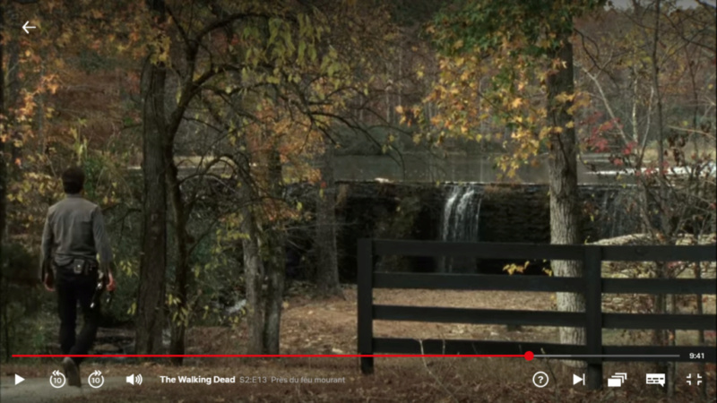
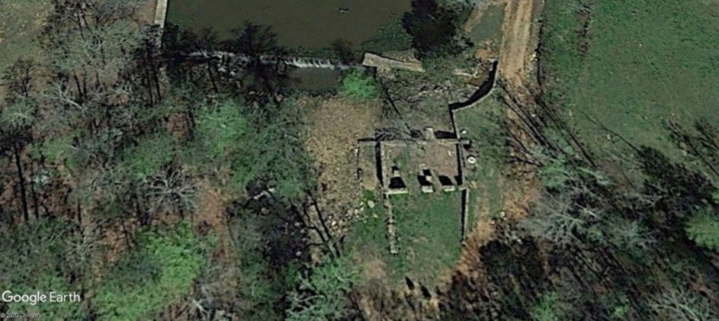
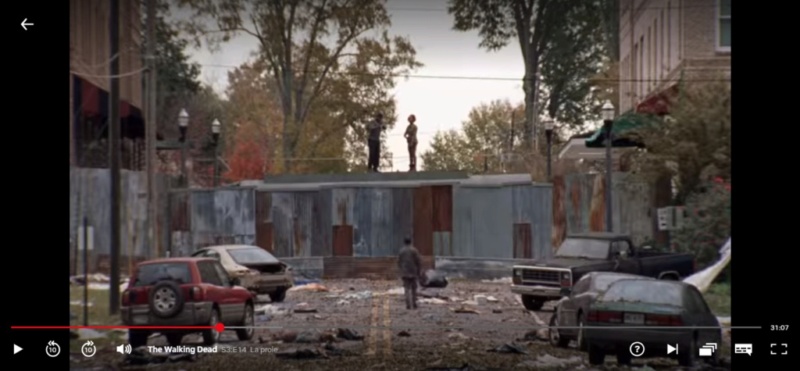
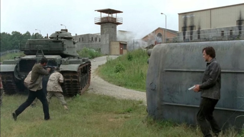
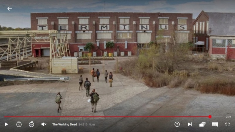
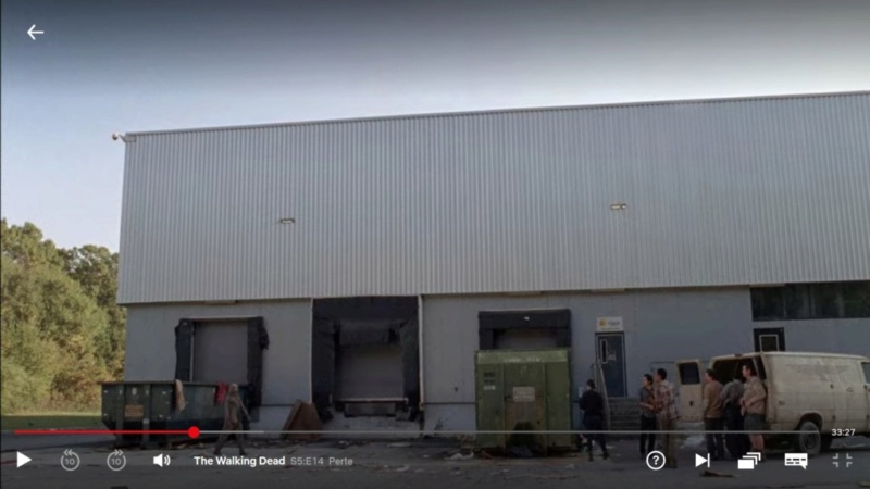
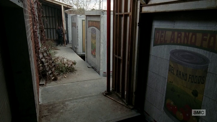
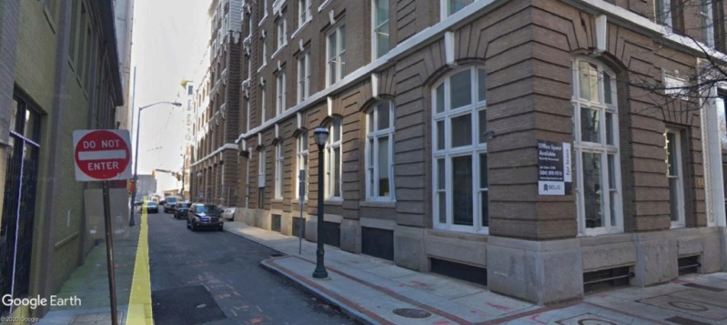
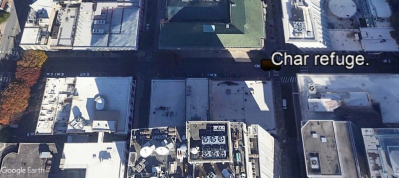
Le Tank isolé, refuge de Rick. La rencontre avec Glenn
49 Forsyth St NW Atlanta, GA 30303
33°45'22.37"N 84°23'26.71"W
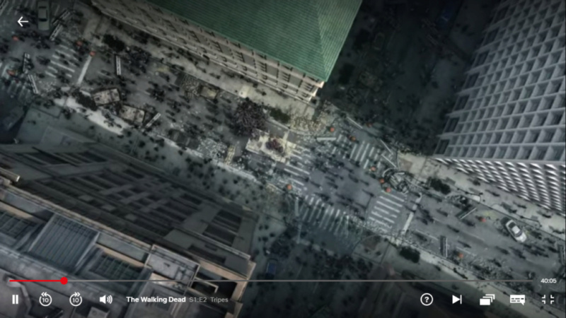
Capture d'image: Netflix
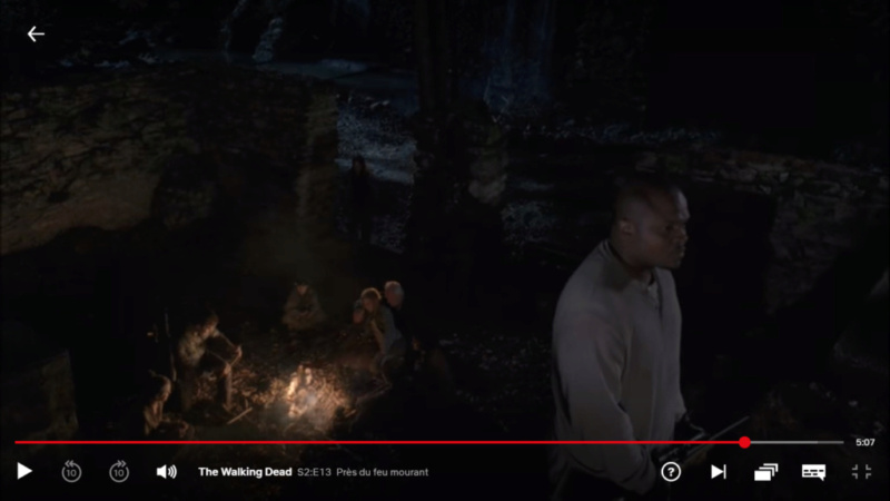
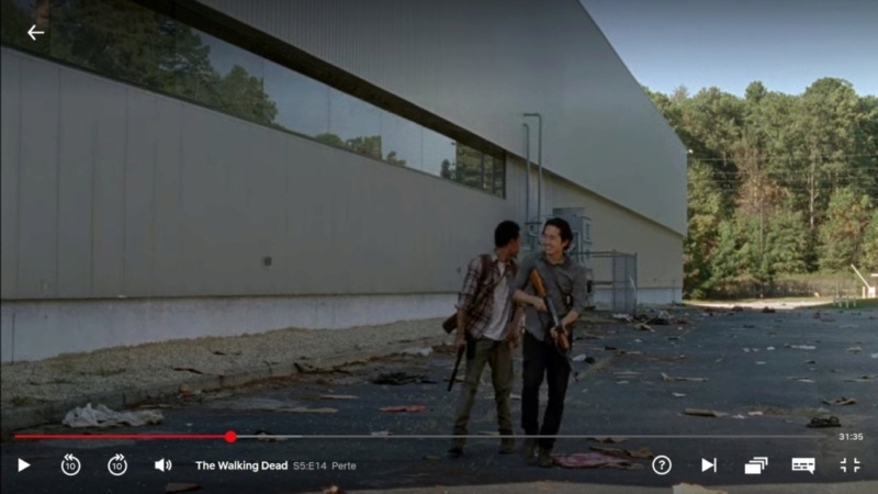
Complètement encerclé, dépassé par la situation, Rick va être sauvé par un jeune homme asiatique (coréen), et rejoindre un groupe de survivants, en embuscade sur les toits.
C'est le début de l'aventure de groupe pour le futur leader de la bande.
Capture d'image: Netflix
To be continued...
Ce topic est dédicacé à S. Fenn, qui se reconnaîtra.
Dernière édition par OWENMEANY le Dim 14 Jan 2024 - 19:03, édité 3 fois